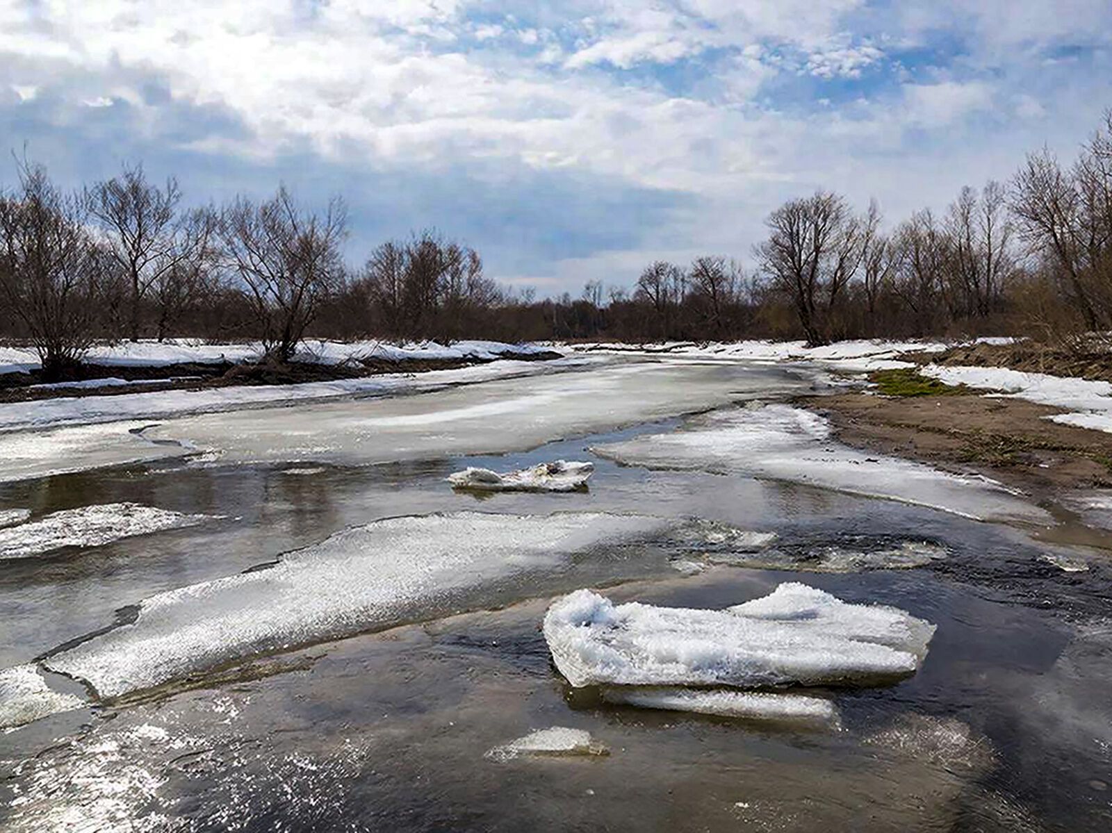
RSE Kazhydromet classifies a number of regions of Kazakhstan as an average risk zone for the passage of spring floods in 2026. According to the main hydrological forecast, the average level of risk is expected in the territory of Zhetysu, Ulytau, West Kazakhstan and Turkestan regions. The forecast is based on the analysis of long-term hydrometeorological observations, taking into account the autumn moisture content of the soil, the depth of its freezing, the volume of snow accumulation and the expected weather conditions during the snowmelt period. In the Zhetysu region, the indicators of autumn moisture are generally unevenly distributed, while in most of the territory the depth of soil freezing is lower than last year's values. Snow accumulation is mostly below normal, but it is increasing in most areas compared to last year. The medium-risk areas include Sarkan, Koksu districts and the city of Taldykorgan. In the Turkestan region, autumn soil moisture in most areas is below normal, while as of early March, soil freezing is not observed. Snow accumulation is unevenly distributed, exceeding the norm in some areas. In case of an increase in the temperature background and intense rainfall in mountainous areas, high snowmelt floods may form. Tolebiysky, Sauransky, Baydibek, Sairamsky, Tyulkubassky, Ordabasinsky, Aryssky, Otyrarsky, Kazygurt and Kelessky districts are classified as medium-risk territories. In Ulytau region, the autumn moisture content of the soil in most of the territory is below normal. The depth of soil freezing varies from 10-92 cm and on average exceeds last year's figures. Snow accumulation is unevenly distributed, mostly near and below normal. According to the calculated data, the average risk is predicted in Ulytau district. In the West Kazakhstan region, soil moisture and snow accumulation have significant territorial differentiation. High water is expected to flow along the tributaries of the Zhaiyk River with near-average rates of rising water levels. The medium-risk territories include Burlinsky, Kaztalovsky, Zhangalinsky, Shyngyrlau, Karatobinsky, Bokeyordinsky, Terektinsky, Syrymsky, Akzhaiksky and Zhanibek districts. RSE Kazhydromet notes that after the opening of rivers from the ice cover, weekly provision of short-term hydrological forecasts will be organized to promptly inform government agencies and the public. Forecast data will be updated as the synoptic and hydrological situation develops.