The hydrological service is one of the main production divisions of RSE "Kazhydromet", whose task is to provide timely and high-quality state bodies, the population and economic sectors of the Republic of Kazakhstan with routine, operational and predictive hydrological information about the country's water bodies.
Hydrological monitoring is carried out at 442 hydrological posts:
1. 394 river posts
2. 38 lake posts;
3. 10 sea stations and posts.
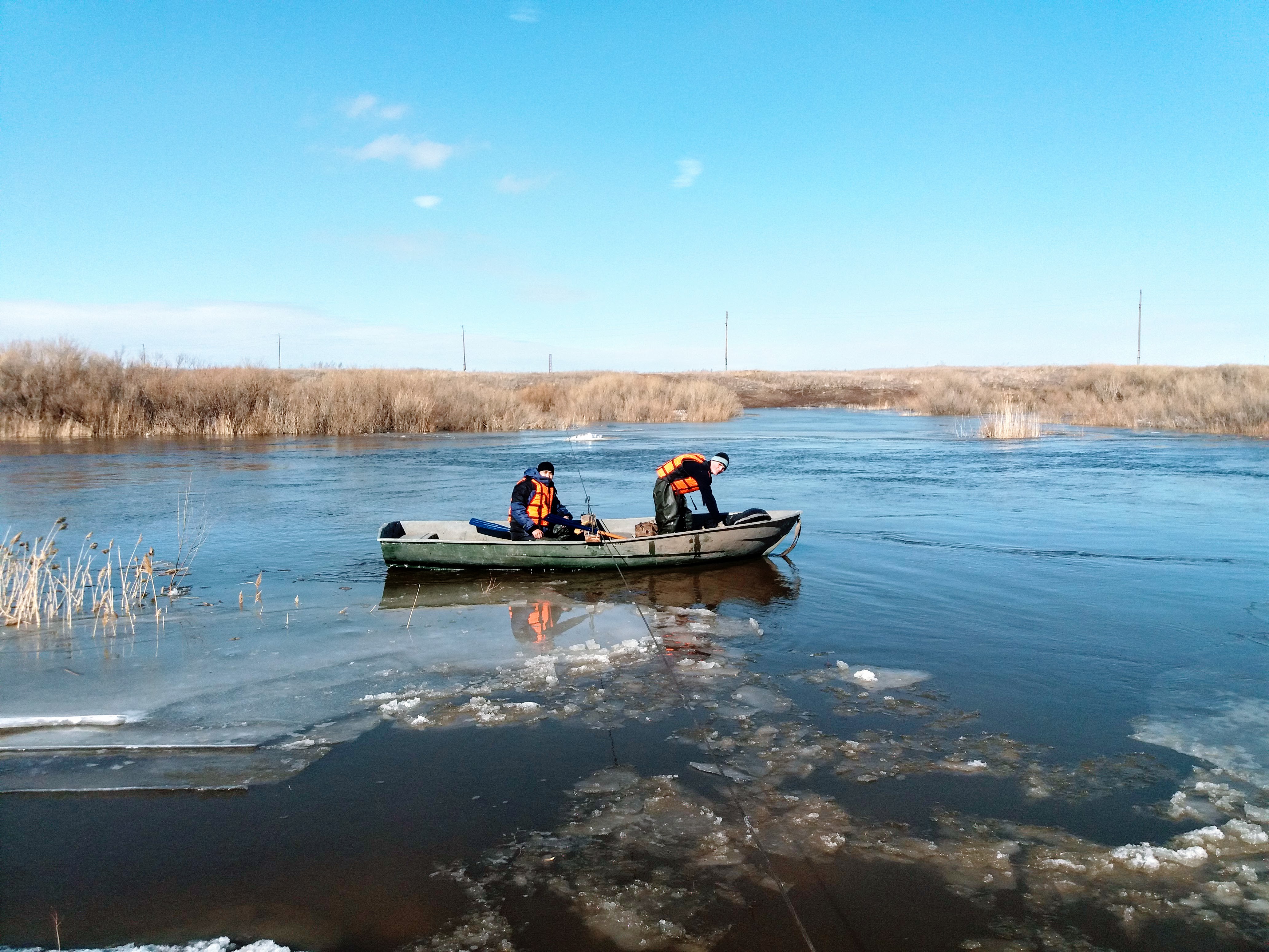
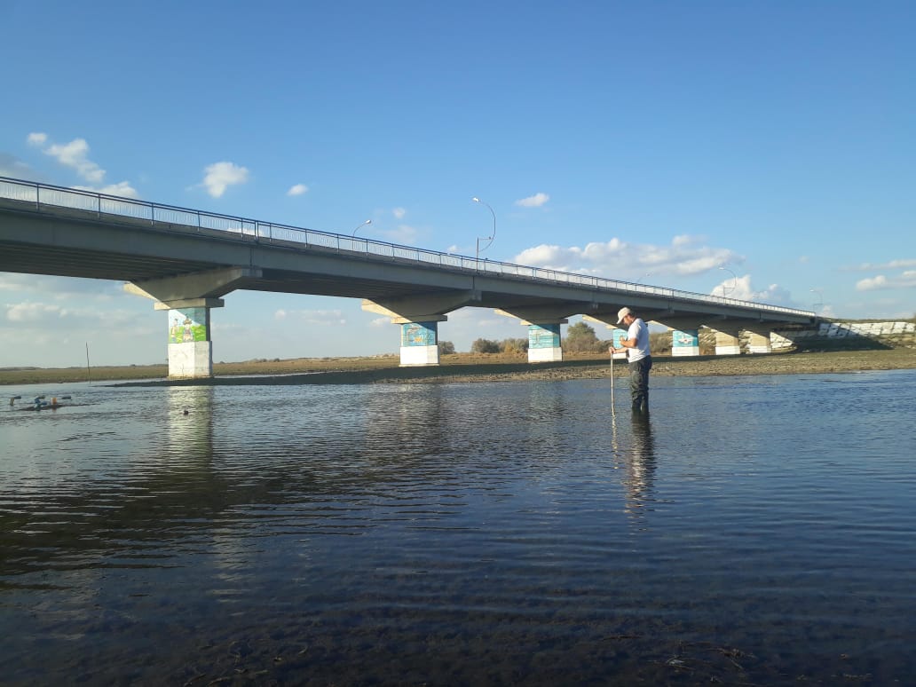
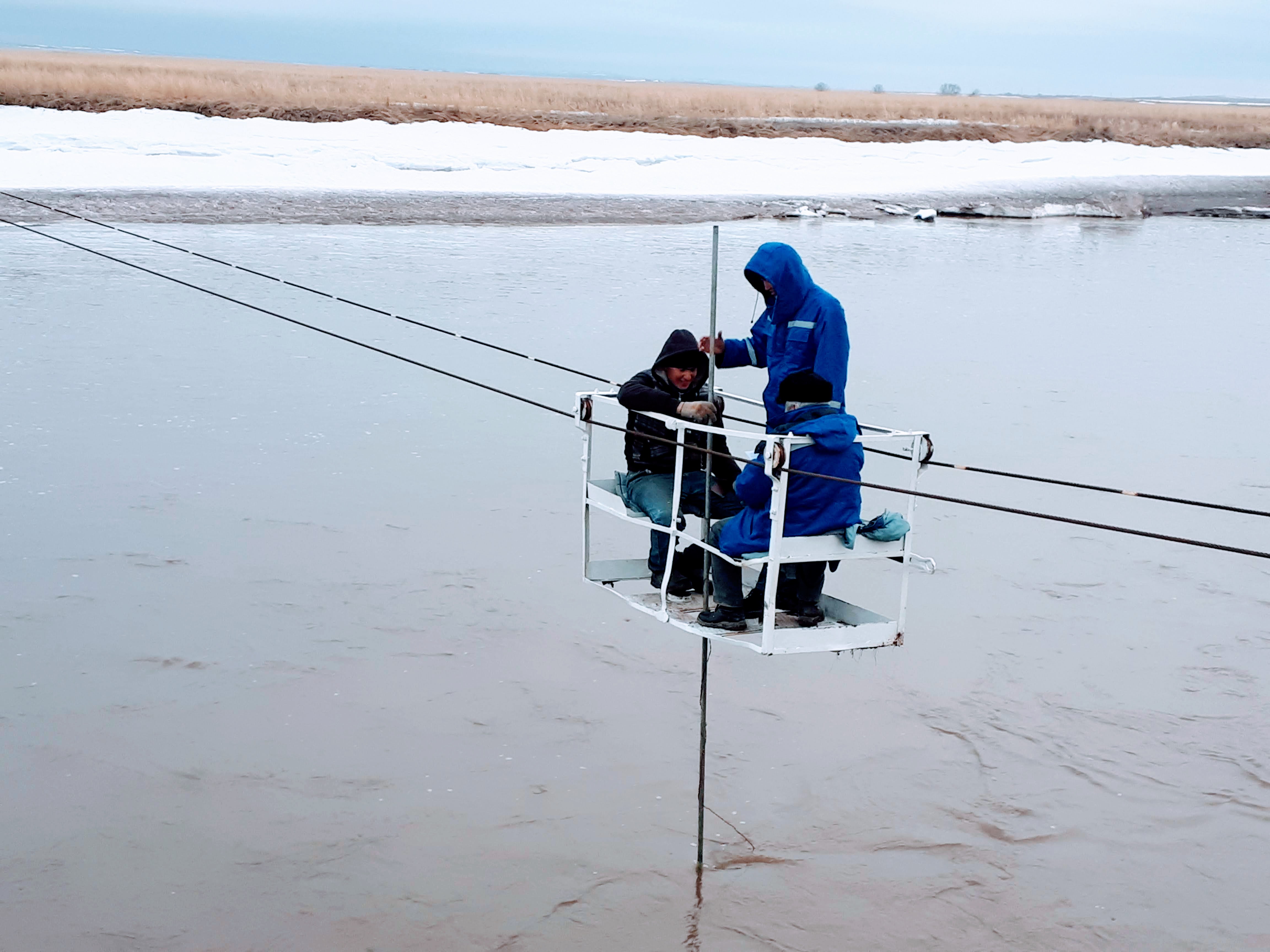
Every day, 2 times a day, observations are made on the water level, water temperature, and air temperature. Every ten days measured flow of water (during flood/flood quickened).
In autumn, winter, spring ongoing monitoring of ice conditions in the winter made observations of ice thickness and snow depth on ice.
The hydrological service is managed by the Department of hydrology, which is headed by a Director.
The Department of hydrology consists of:
- Management of hydrological monitoring;
- Management of hydrological forecasts;
- Department of state water cadastre and hydrological research.
The Department of hydrological monitoring is engaged in methodological guidance of regional branches on issues of conducting hydrological monitoring, and operational solutions to ensure the quality of implementation of the work plans of the hydrological network in accordance with the goals and objectives of RSE "Kazhydromet".
The Department of hydrological forecasts conducts an operational assessment of the actual state, develops and forecasts various elements of the hydrological regime of water bodies of the Republic of Kazakhstan.
Currently, this division produces the following types of forecasts:
- terms of freezing and opening of rivers;
- spring flood volumes (preliminary and main);
- week of hydrological forecasts in the period of spring flood;
- water inflow to reservoirs for a month, quarter, year;
- flow of mountain rivers during the growing season;
- storm warnings about ohss;
- daily hydrological Bulletin.
The Department of the state water cadastre and hydrological research carries out work on maintaining the state water cadastre under the section surface waters. It collects, verifies, processes, summarizes and analyzes data reliability, accumulates, stores and distributes information, and maintains a database of surface water monitoring for river basins, lakes, reservoirs and seas. Performs hydrological analyses and calculations, prepares applications for consumers of hydrological information on request, prepares hydrological data for exchange at cross-border posts and for the MEG and GGI KVR, according to cooperation programs.
Ugvkigi performs work on the preparation and release of reference and information publications:
1) "Annual data on land surface water regime" (average daily monitoring data).
2) "multi-Year data on the regime of land surface waters", (summarizes multi-year monitoring data for the entire observation period).
3) "materials on evaporation from the water surface" (average-decade monitoring data).
