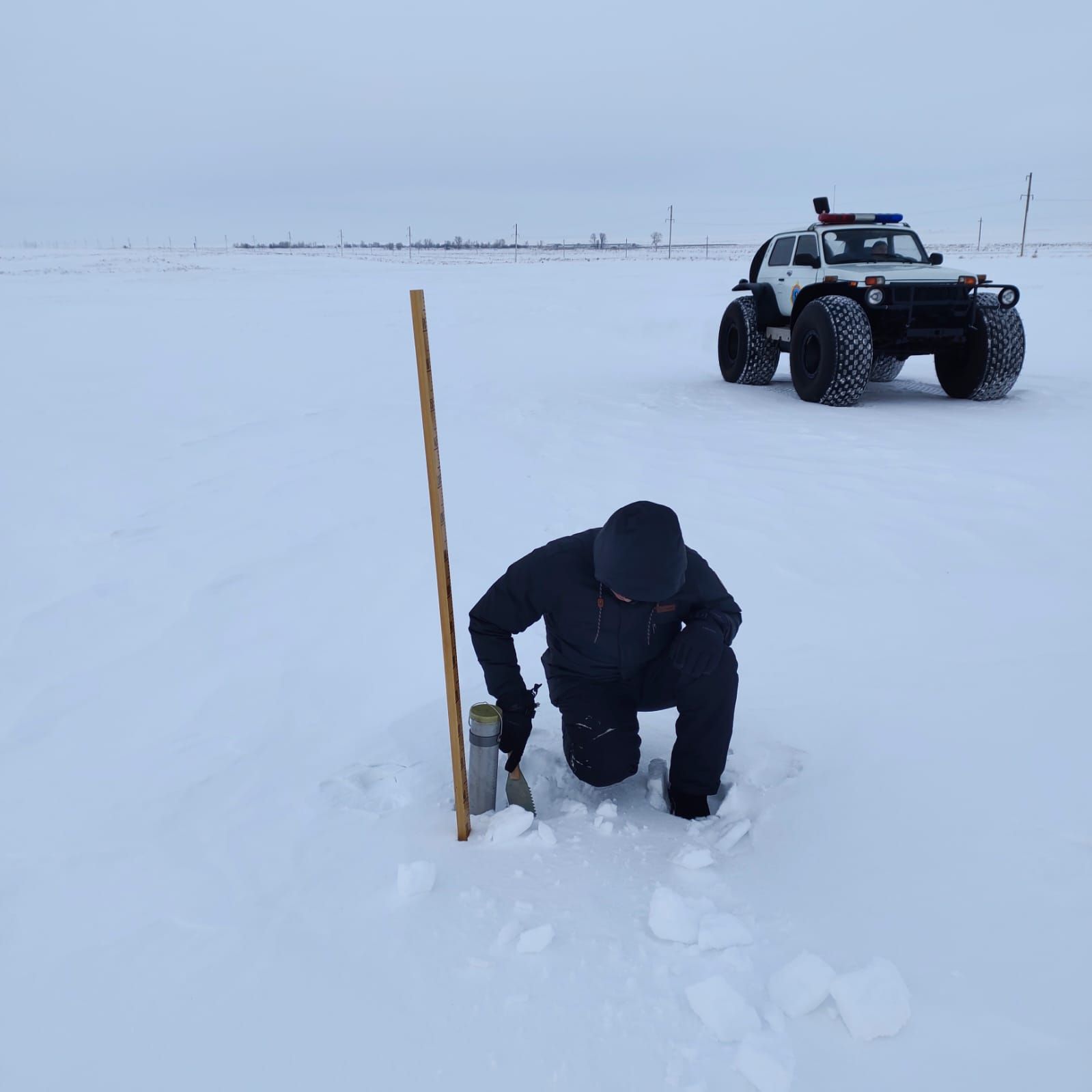
Since January 23, 2024, specialists from the branch of the RSE “Kazhydromet” in the Akmola region, together with representatives of the Emergency Situations Department, carried out an additional route survey in the Zhabai river basin.
Based on the results of the survey, it should be noted that in some places there is an ice crust of 5 to 30 mm on the soil surface, which presumably, during the flood period, can affect the rate of meltwater inflow into the river.
According to data from meteorological stations, the amount of accumulated precipitation from November 2023 to January 25, 2024 in the region ranges from 39 mm to 169 mm, which is about the norm and 2 times more than the norm.
According to the results of snow-measuring routes as of January 20, 2024 in the regions of the region, the average snow height and water reserves in snow are within last year’s values (2024 - 18 cm and 50 mm; 2023 - 20 cm and 46 mm), as well as within long-term values (long-term data for 2nd decade of January - 21cm and 54mm; 2024 - 21cm and 60mm).
At the moment, the process of snow accumulation continues in the region.
According to the emergency response data, a preliminary assessment of regions with high risks of flooding was given - Tselinograd, Arshalyn, Atbasar, Sandyktau, Astrakhan regions.