The branch of RSE Kazhydromet in the Akmola region, together with the Department of Emergency Situations of the Akmola region, conducted an additional route survey of the Zhabai River basin from January 19 to January 23, 2026.
The survey route included 16 points located on the side tributaries of the river and covered three districts of the region:
Zerendinsky district (villages Krasilovka, Idabol),
Sandyktau district (villages of Sandyktau, Petrovka — 2 points, Kamenka, Madeniyet — 2 points, Spasskoe, Khlebnoye, Veseloe, Lesnoye),
Atbasarsky district (villages Pokrovka, Prigorodnoye, Proletarka, Shuisky).
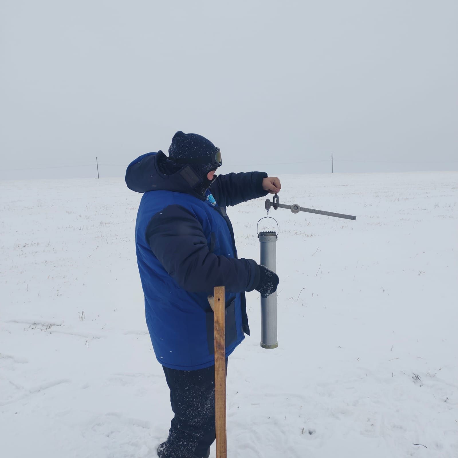
Snow—measuring routes were laid on various types of terrain - in field areas, woodlands and ravine-ravine areas. From January 19 to January 23, three field snow surveys were conducted (in the villages of Krasilovka, Petrovka, and Madeniyet), two forest snow surveys (villages of Idabol and Petrovka), and two ravine-girder snow surveys (villages of Kamenka and Madeniyet).
According to the survey results, the snow cover height on field routes ranges from 9 to 40 cm, in woodlands — from 23 to 60 cm, in gullies — from 10 to 24 cm. On average, these figures are 48% lower than the values of the same period last year. The average water supply in the snow has also decreased and is 58% less than last year's figures.
The data obtained is used by specialists to assess the water management situation and predict spring floods.