The Kazhydromet branch of RMK in the North Kazakhstan region is carrying out planned snow removal work to assess the height of the snow cover, water reserves in the snow and snow density.
There are 31 field snow measuring routes with a length of 1,000 to 2,000 meters in the region. Within the framework of these routes, experts determine the main parameters of the snow cover that affect the formation of spring floods.
In addition, starting in 2018, specialists of the Kazhydromet branch of RMK, together with the Department of Emergency Situations of the North Kazakhstan region, conduct route snow-measuring surveys of ravines, gullies and riverbeds in order to determine unaccounted for moisture reserves in the snow cover. The total length of such route surveys is 1,200 km.
Based on the results of the preliminary analysis, 7 control points were selected in the catchment area of the Yesil River in three districts of the region — Yesilsky, Gabit Musrepov district and Ayyrtau district.
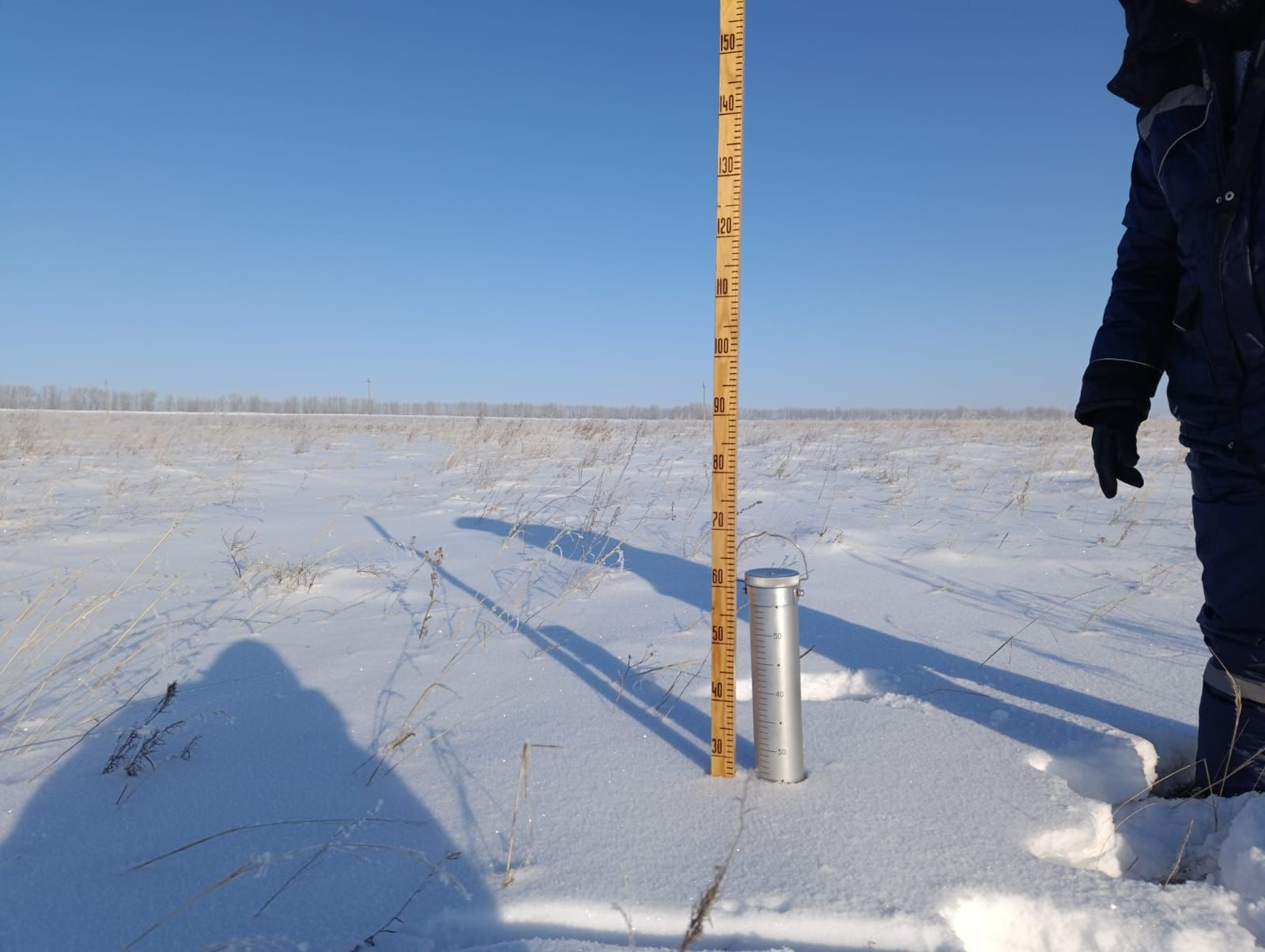
In the period from January 26 to January 30, 2026, specialists of the branch for the North Kazakhstan region, together with the regional emergency department, conduct snow-measuring surveys.
Currently, the surveys have been conducted at two locations:
• Log Maltsevo (Yesilsky district): the water reserve in the snow cover was 52 mm, which is 33% less than in 2025 and 47% less than in 2024.
• Mukkyr River (Gabit Musrepov district): the water reserve in the snow cover was 26 mm, which corresponds to the values of 2025, but 55% lower than in 2024.
The data obtained is used by experts to assess the hydrological situation and predict the risks of spring flooding in the North Kazakhstan region.