Meteorological observations in the city of Kazalinsk were organized back in 1848. During the operation of the meteorological station, observations were conducted intermittently. From 1848 to 1858, from 1862 to 1866, and from 1869 to 1875. From 1881 to the present, observations have been made here without interruption. The station has been moved six times in its entire history. In 1881, 1884, 1886, 1896, 1924, the last transfer was in 1949.
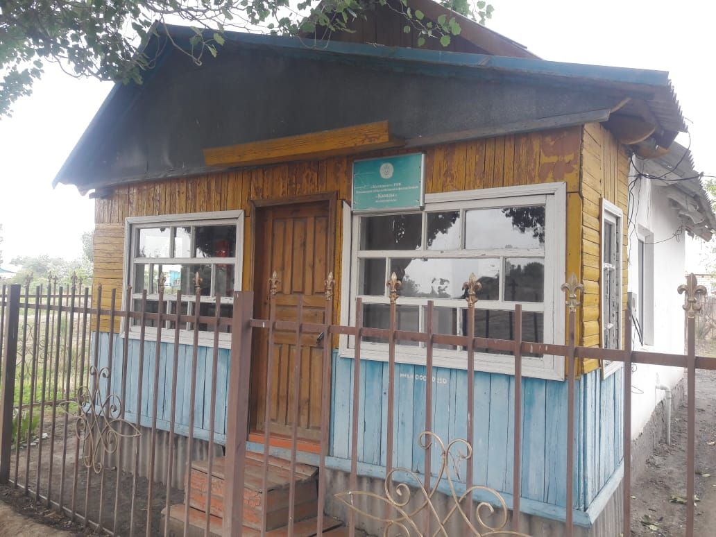
Initially, the station was called Fort I-th (Kazalinsk). Later, presumably in 1881, the meteorological station was renamed Kazalinsk. According to the current classification, the weather station operates under the Category II program. The Tretyakov sedimentation meter was installed in 1953, and the weather vane with a heavy board in April 1958.
At the beginning of its work, the Kazalinsk meteorological station was under the jurisdiction of the military topographic department of the Turkestan Military District and was served by military personnel. There is no information about the location of the weather site.
In 1881, the station was located in the courtyard of the 3-class city school, located in the south-eastern part of the city. In 1884 - on the north-western outskirts of the city, 340m north of the Syr Darya River. The last transfer took place on May 21, 1949, the station was moved 1.5 km to the east-southeast, to the southern outskirts of the city.
The city of Kazalinsk is located in the plain-clay desert of the Syrdarya desert-valley region. The proximity of the sea and the bay, as well as the large Syr Darya river with its numerous branches and old trees forming a large delta, affects a significant increase and fluctuations in the groundwater level. In the spring, during a flood, the river often floods a large area of the surrounding area and in the depressions the water stagnates for a long time. This causes swampiness in large areas of the river delta, to the west and south of the city.
The Aral Sea is located 60-65 km to the west of the city of Kazalinsk, and 12 km to the south is the Bozkol Bay, which is deep into the land, in a low-lying plain, on the right bank of the Syrdarya River. Ground water lies deeper than 1m.
There are 14 meteorological stations in the Kyzylorda region, including 3 stations with a century-old history of observations: Kazaly-173 years, the Aral Sea-137 years and Zhosaly-107 years.